Hand-drawn maps
Would-be cartographers have produced 11 hand-drawn maps for a new Museum of London exhibition charting their own perceptions of London.
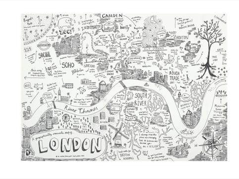
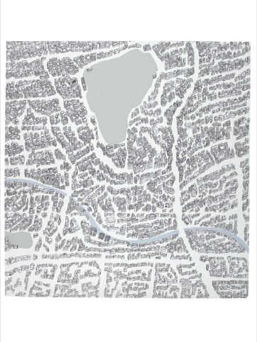
Source: Anika Mottershaw
Map of London
The museum has teamed up with London news and culture website Londonist.com to ask members of the public for annotated pictorial narratives explaining their own regional stories, including The tree of Brixton pubs and cafes, by Liam Roberts.
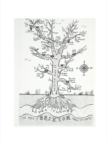
Source: Liam Roberts
The Tree of Brixton pubs and cafes
Londonist.com editor Matt Brown says the exhibition has been initiated as a repost to ‘the rise of digital mapping.’
He adds, ‘In this age of GPS, mobile phone apps and data driven map-making, I thought it would be interesting to see what everyday Londoners could do with a pen, some paper and a bit of imagination.’
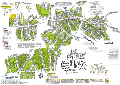
Source: Harriet McDougall
The nature of New Cross
The Nature of New Cross by Harriet McDougall – a resident and self confessed ‘former country bumpkin’ – will she says, ‘help people see beyond the grey scruffiness of New Cross to the charm and warmth beneath it.’
New Cross is ‘too often dismissed at face value’ she says but her map will help people ‘find the good’ of New Cross through its ‘secrets, stories and history.’
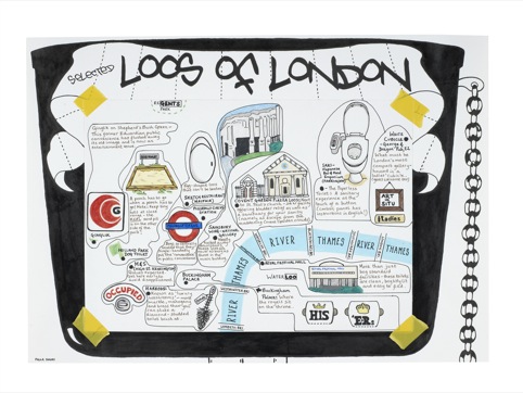
Source: Paula Simoes
Selected loos of London
One of the more practical/surreal efforts is Selected Loos of London. A very literal take on toilet humour, Paula Simoes’ map will ensure you are never caught short again.
Source: Alexander Schmidt
Subjective mapping, Hackney
Hand Drawn London will go on show at The Museum of London from 21 April – 11 September 2011.
Read this next


Hi there,
I created ‘Selected Loos of London’ and was reading your blurb when I realized you had me down as Paul Simoes instead of Paula Simoes. Could you please correct that.
Many thanks.
Paula