Viewing the changing planet through Google Earth
An exhibition opening this month at the Danish Architecture Centre uses Google Earth and satellite photography to track the changing face of the planet.
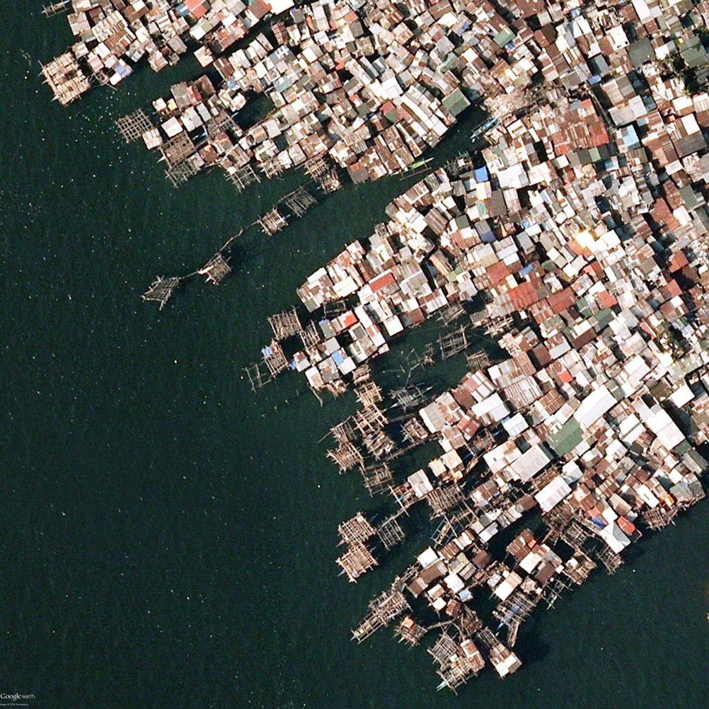
The Mind the Earth exhibition will present the globe’s surface, photographed from an altitude of 10,000m.
The exhibition aims to show the impact of transformation over time, brought about by population growth and urbanization.


Visitors to the exhibition will enter a dark room with photos, which light up on the floor.
They will be shown the same geographical area photographed at different points of time. The photographs will be accompanied by facts and commentary written by architect Kasper Brejnholt Bak and writer Morten Søndergaard.


DAC experience communication manager Martin Winther, says: “ In addition to being stunningly beautiful, these photos also show some of the transformations, which globalisation, urbanisation and climate change are currently creating.
“Visitors to the exhibition will be thrilled and amazed by the Earth’s diversity, but at the same time reminded that the Earth’s resources are not infinite, and that we have a joint obligation to look after what we have.”


Mind the Earth is at the Danish Architecture Centre, Strandgade 27B, 1401 København K, Denmark from 20 November 2014 to 11 January 2015.
Read this next

-
Post a comment


